
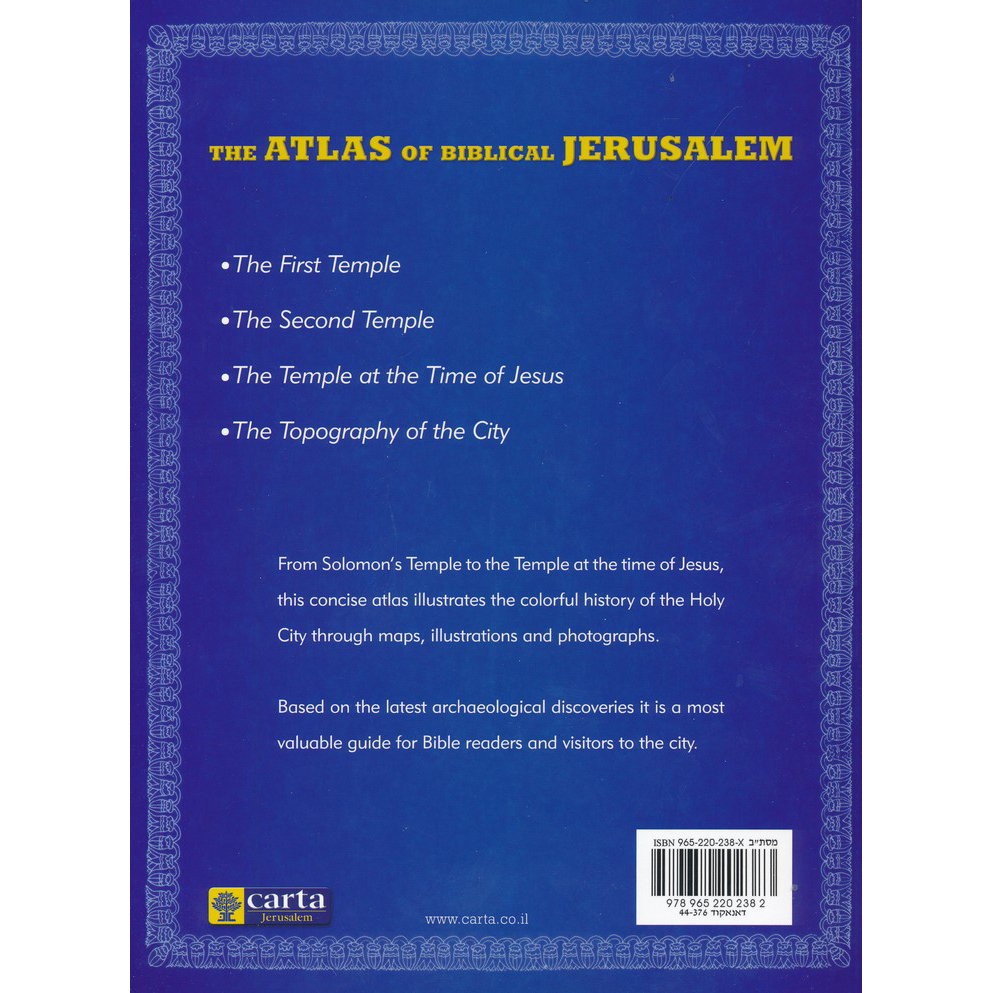


Atlas of Biblical Jerusalem from Carta
Atlas of Biblical Jerusalem from Carta
SKU: PB495
Couldn't load pickup availability
The Atlas of Biblical Jerusalem, which is excerpted from the more extensive The Illustrated Atlas of Jerusalem, is a helpful and instructive tool for readers of the Scriptures and all who wish to visualize the Holy City as it was in biblical and New Testament times.
Excerpt from Forward:
Jerusalem was at the apex of its glory and beauty during the last century before the destruction of the Temple in 70 CE. Herod had built many magnificent edifices in the city, with the Temple and its Mount as the crowning glory. These works gained fame, and the Talmud goes out of its way to describe the physical qualities of the city, which “took nine measures of beauty out of the ten with which the world was bestowed, leaving one measure to the rest of the world.”
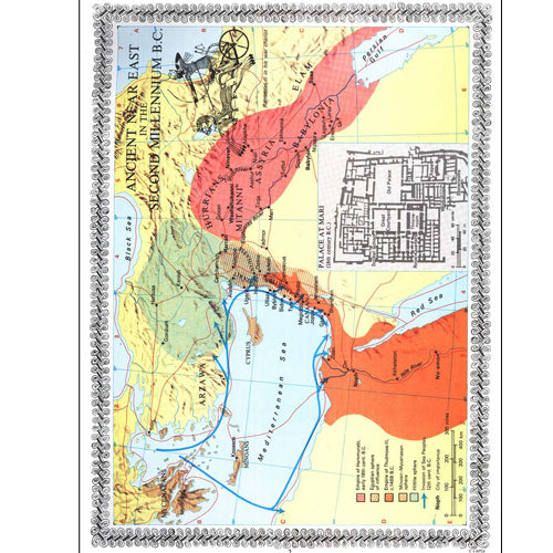
This illustrated volume is based on the results of the latest archaeological excavations.
Contents:
- Foreword
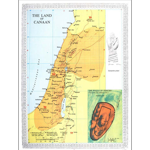
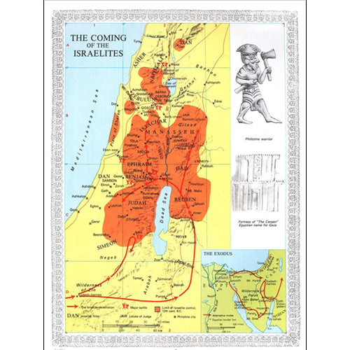
- The First Temple Period: 1000BCE-586 BCE
- The Second Temple Period: 538 BCE-70 CE
- Jerusalem at the Time of Jesus
- The Topography of the City
- Index
About Carta:
Established in 1958, Carta Jerusalem is Israel's foremost cartographic publisher and among the leaders in academic publications. With special emphasis on biblical Israel and the ancient Near East, CARTA Map Bank is one of the world's largest map collections in the fields of religion, geography, history, and Israel - ancient to modern - with its unique fauna and flora. Sciences, environmental studies, medicine, and other subjects are covered on an ongoing basis, also in popular editions.
Keeping up with fast-developing Modern Israel has been another major focus of CARTA's activities, covering every highway, road and byway, city, town, and village in great detail, many shapes and different sizes. Touring and special guides to archaeological sites, national parks, and nature reserves are continuously being expanded.
Featuring:
Index
Maps
Full Color
Illustrations
Language: English
Soft Cover,
48 pages,
8.75 x 11.5 in. (22 x 29.5 cm)
Weight: 214 g (7.54 oz.)
Additional Information
Additional Information
Share